
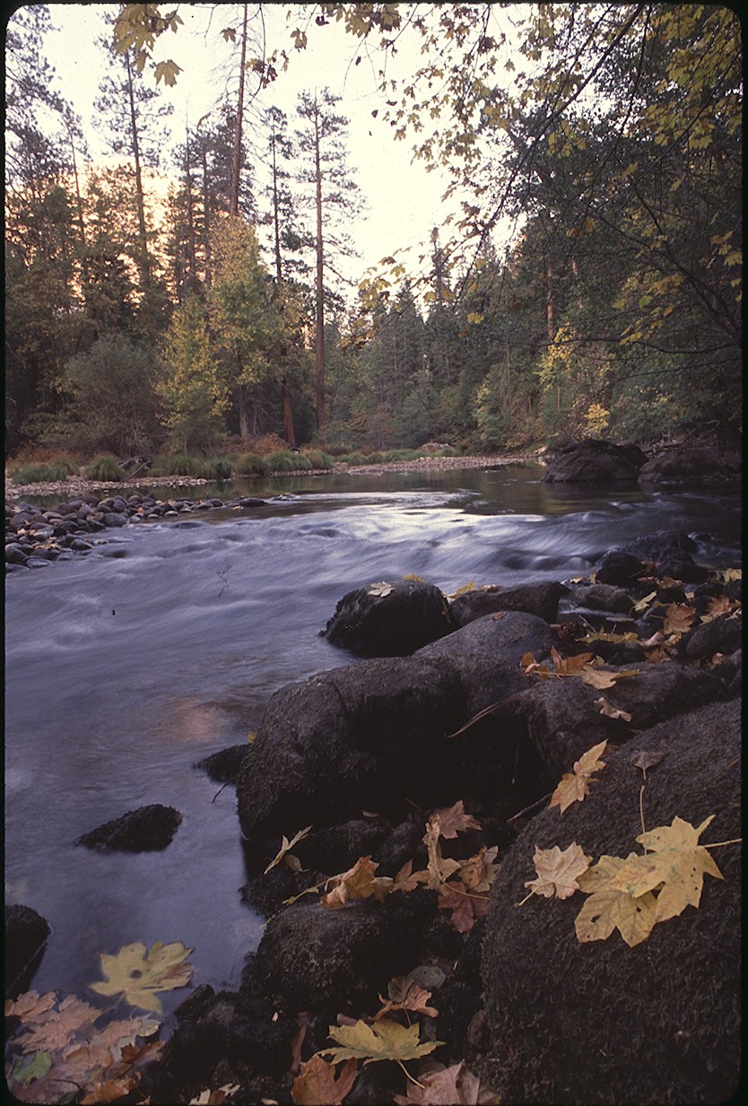
Top: El Capitan in autumn. NPS photo by Keith S. Walklet (public domain).
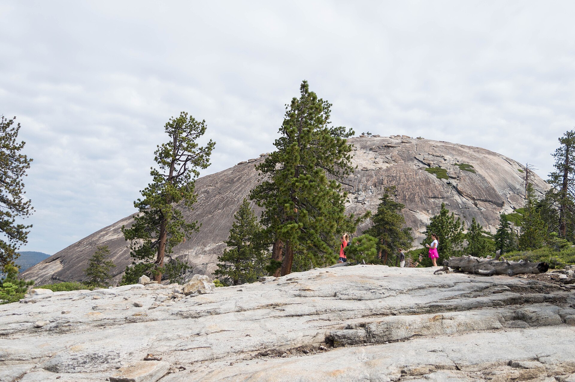
By late fall, Yosemite’s high country is shutting down for the season. As of the National Park Service’s October 30 update, Tioga Road and Glacier Point Road are both temporarily closed due to snow, which puts trailheads like Sentinel Dome and the Panorama Trail out of reach. The good news: some of the park’s best hikes start right on the floor of Yosemite Valley. Here are the best options for this time of year, from a 30-minute waterfall loop to a full-day climb to the rim.
Late-fall trail status
As of the NPS conditions update on October 30, 2026:
- Glacier Point Road: temporarily closed due to snow.
- Tioga Road: temporarily closed due to snow.
- Mist Trail repairs: the weekday detour between the John Muir Trail junction and the top of Vernal Fall was scheduled to run through October, and it’s no longer on the NPS list of trail closures. Check before you go in case the schedule changes.
- Winter closures: once winter sets in, the lower Mist Trail beside Vernal Fall closes because of falling ice and rock. That closure wasn’t in effect yet.
- Shuttles: the free Valleywide and East Valley shuttles run from 7 a.m. to 10 p.m.
Hikes at a glance
| Hike | Distance | Elevation | Time |
|---|---|---|---|
| Lower Yosemite Fall loop | 1 mi loop | About 50 ft | About 30 min |
| Vernal Fall Footbridge | 1.6 mi round trip | 400 ft gain | 1–1.5 hr |
| Mirror Lake | 2 mi round trip (5 mi loop) | About 100 ft | About 1 hr (2–3 hr loop) |
| Columbia Rock | 2 mi round trip | 1,000 ft gain | 2–3 hr |
| Top of Vernal Fall (Mist Trail) | 2.4 mi round trip | 1,000 ft gain | About 3 hr |
| Top of Nevada Fall (Mist Trail) | 5.4 mi round trip | 2,000 ft gain | 5–6 hr |
| Top of Yosemite Falls | 7.2 mi round trip | 2,700 ft gain | 6–8 hr |
Short and easy
Lower Yosemite Fall loop

This paved, 1-mile loop leads to the base of the Lower Fall and gives you the best view for the least effort. The eastern side of the loop is wheelchair accessible when it isn’t icy. Ride the Valleywide shuttle to stop #6, or park at the Yosemite Village or Yosemite Falls parking areas, since there’s no parking at the trailhead itself.
As of the NPS’s October 30 update, Yosemite Falls is down to a trickle, and Vernal and Nevada falls are running low, so don’t come expecting the spring roar.
Vernal Fall Footbridge

A paved path climbs from Happy Isles to the Vernal Fall Footbridge and your first view of the fall. It’s the easiest way to sample the Mist Trail without committing to the granite steps above the bridge. Happy Isles is shuttle stop #16 at the east end of the valley. There’s no parking at the trailhead, so park at Curry Village, less than a mile away, and walk or take the shuttle.
Water and restrooms are at the trailhead. Water at the footbridge is only available from May to October, so bring your own.
Mirror Lake

The walk starts at shuttle stop #17, and the first mile follows a paved service road straight to Mirror Lake, where you look up at Half Dome from its base. It’s 2 miles round trip to the lake with about 100 feet of climbing, or 5 miles if you continue around the full loop along Tenaya Creek. Plan on about an hour to the lake and back, or 2 to 3 hours for the loop. There’s no parking at the trailhead, so park at Curry Village or anywhere in eastern Yosemite Valley and ride the free shuttle.
Mirror Lake holds little water for much of the year. It’s fullest in spring and early summer, and by late summer it’s often called Mirror Meadow. In winter, the south side of the loop can stay icy and snowy, so an out-and-back on the north side is the safer choice. There’s no drinking water at the trailhead or on the trail, but there are vault toilets about half a mile in and at the lake.
Half-day hikes
Columbia Rock

The Yosemite Falls Trail starts near Camp 4 (shuttle stop #7) and climbs a long series of rocky switchbacks to Columbia Rock, a railed viewpoint about 1,000 feet above the valley floor. The view over Yosemite Valley and Half Dome makes it a satisfying turnaround point if you don’t want the full climb. Camp 4 parking is for campers, so use the Yosemite Falls parking area across the road. There’s no water on the trail, so fill up before you start.
Top of Vernal Fall

Above the footbridge, the Mist Trail climbs a long run of granite steps beside Vernal Fall to railings at the top, where Emerald Pool and the Silver Apron spread out above the drop. In fall the waterfall is at its lowest flow of the year, so the spray is mostly gone and the steps are usually drier than in spring. Take the descent slowly: the steps are steep and hard on knees.
To skip coming down the steps, continue past Emerald Pool and take the Clark Point cutoff up to the John Muir Trail for a gentler descent. Our Mist Trail route guide covers every option.
Full-day hikes
Top of Nevada Fall

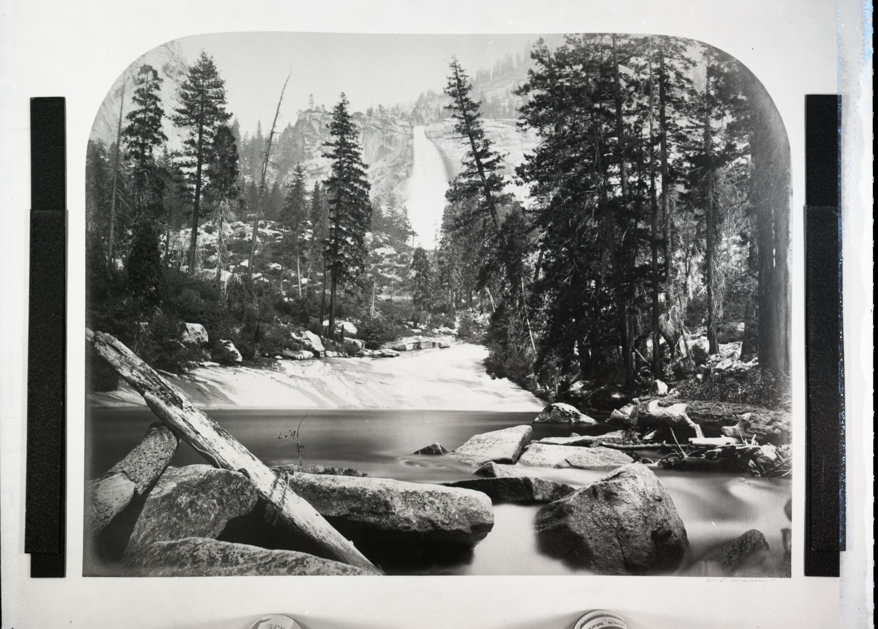
Keep climbing past Vernal Fall on the Mist Trail to the top of Nevada Fall. For the classic loop of about 7 miles, cross the footbridge near the brink of Nevada Fall and come down the John Muir Trail, whose longer switchbacks are much easier on the knees.
This is the hike most affected by late-season weather. The John Muir Trail between Clark Point and the top of Nevada Fall closes when icy, and the lower Mist Trail beside Vernal Fall closes once winter sets in. A winter route stays open but can be icy or snowy. Carry 3 to 4 liters of water.
Top of Yosemite Falls

Past Columbia Rock, the Yosemite Falls Trail eases for a stretch, then climbs many more switchbacks to the rim, 2,700 feet above where you started. Strong hikers can add 1.6 miles round trip to Yosemite Point for a wider view that takes in Half Dome.
The upper trail gets little sun, so it can hold ice or snow after storms, especially early and late in the day. Carry about 4 liters of water, since there’s none on the trail. Our Yosemite Falls guide has more on the route.
Know before you go
- Headlamp: days are short this time of year, and hikes often take longer than planned. Bring one with fresh batteries.
- Water: the only water on the Mist Trail is at the Vernal Fall Footbridge, and only from May to October. The Yosemite Falls Trail has none. Carry all you need.
- Ice: shady sections can hold ice or snow after storms. Check conditions the morning you go.
- Stay out of the water: swimming or wading at Emerald Pool and the Silver Apron is illegal and dangerous. Never enter Yosemite Creek above the fall.
- Footing: expect loose rock and steep, slippery granite steps.
- Not allowed: pets, bicycles and strollers on the Mist Trail, John Muir Trail and Yosemite Falls Trail.
Trail information checked November 3, 2026, against the National Park Service’s current conditions (updated October 30). Conditions change quickly, so check the NPS current conditions, Vernal and Nevada Fall trail page, Yosemite Falls Trail page and Mirror Lake Trail page before you go.
Leave a Reply